Abstract
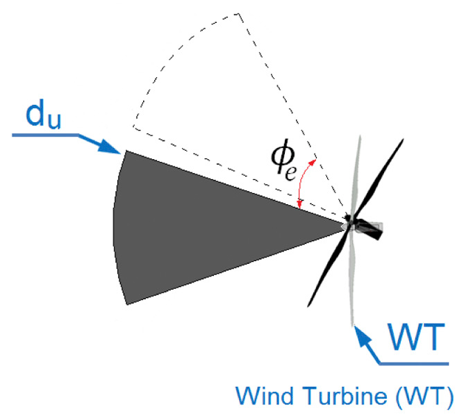
Despite the evolution of wind turbines, the way in which in-situ meteorological information is obtained has not evolved much. Wind vane and cup anemometers, installed at the turbines nacelle, right behind the blades, are still used. This near-blade monitoring does not provide any time to readjust the profile of the wind turbine, and subjects the blades and structure to wind gusts and extreme incoming wind conditions. A solution is to install wind lidar devices on the turbine’s nacelle. This technique is currently under development as an alternative to traditional in-situ wind anemometry because it can measure the wind vector at substantial distances upwind. However, most used wind lidar systems are optimized for measuring within a fixed upwind range, but at what upwind distance should they interrogate the atmosphere? This work uses Large Eddy Simulations to create a realistic atmospheric flow to evaluate optimal scanning distances to learn about the incoming turbulence as a function of wind farm configuration and atmospheric stratification. A correlation model, based on a modified truncated normal distribution, has also been developed, which could be implemented within the feed-forward collective pitch control of the turbine, allowing for improved wind turbine readjustments.


